Disponibility of natural gas on geoportal.lu
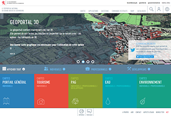 The website geoportal.lu is Luxemburg's national official geoportal, a governmental platform dedicated to geospatial data and related products. It has been built by Administration du Cadastre et de la Topographie, Luxemburg's national cadastre and mapping authority. A new map layer is available and allows you to see if your plot can easily be connected to the natural gas network - click here
In a small scale, the cadastral sections are colorized according to the grid operator active in that cadastral section. In a bigger scale, cadastral parcels are colorized according to the fact that there is a gas pipe in a radius of 20m around the parcel. We make a difference between active pipes, inactive pipes (pipes present, but not yet under pressure) and the non presence of pipes.